

Quick Summary
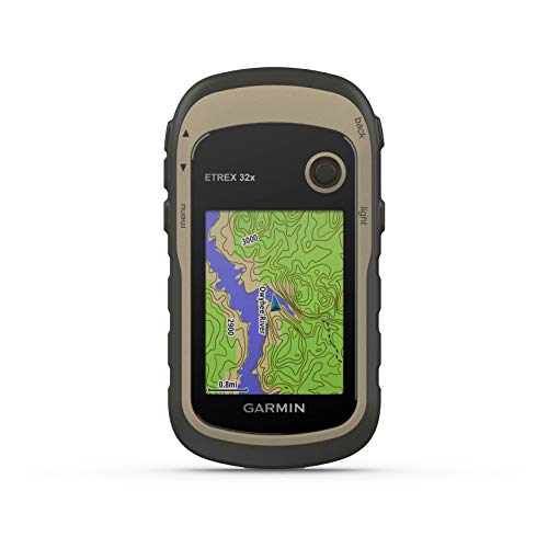
Garmin HuntView Plus is a set of preloaded microSD cards for Garmin handheld GPS devices. It is built around hunting management units and map content for field navigation, with boundaries and multiple species shown where available.
The product also includes landowner names and public/private land boundaries, plus digital topography at a 1:24,000 USGS map equivalent. For buyers, the main checks are device compatibility and whether the map coverage matches the area you need.
Key Details
| Detail | Verified information and buyer relevance |
|---|---|
| Brand | Garmin – the product is from the Garmin range. |
| Product type | Preloaded microSD cards for Garmin handheld GPS devices. |
| Map content | Hunting management units with boundaries and multiple species where available. |
| Land information | Landowner names and public/private land boundaries are included. |
| Topography | Digital topography equivalent to 1:24,000 scale US Geological Survey maps. |
| Navigation content | Thousands of routable roads and trails with turn-by-turn navigation from the field. |
| Points of interest | Searchable points of interest include parks, summits, geographic place names, camping areas and businesses. |
What to Compare Before Buying
- Device compatibility: Check that your Garmin handheld GPS device accepts these preloaded microSD cards.
- Map coverage: Confirm that the hunting management units and map area cover the places you need.
- Navigation detail: Compare the routable roads, trails and points of interest with the kind of field navigation you want.
- Land boundary detail: Review whether the landowner and public/private boundary information is useful for your planned use.
Before You Decide
Confirm the exact Garmin handheld GPS model, the microSD format it uses and the map coverage you need before choosing an offer. If land boundaries, hunting management units and routable trail mapping matter to your trips, this card set is aimed at that kind of use.