




Quick Summary
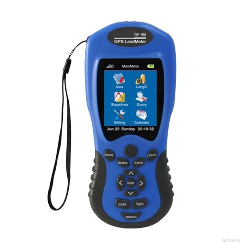
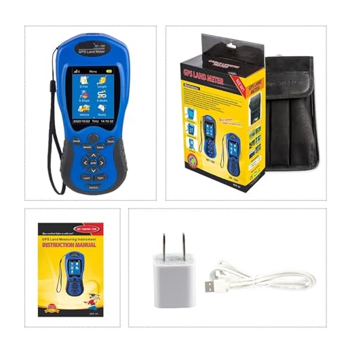
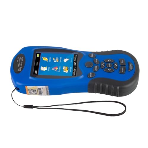
The Handheld GPS for Surveying NF 198 is a survey equipment device for agricultural land survey, mapping area, and length measuring. It is described as measuring area and length of any shape, including mountainous land, slope and flat field, and it can display measuring values and figure track.
Who It Is Best For
This is suited to buyers who need a handheld surveying device for land measurement and mapping tasks. It may suit agricultural use, area checking, and length measuring where a portable survey tool is preferred.
What To Know Before You Buy
It is described as able to measure area and length, show a track, and export test data and graphics trajectory for printing. It is also listed as supporting vehicle carrier measurement with adjustable distance. If you need a specific setup, check the selected variation and suitability before ordering.
Pros: Covers area and length measuring for different land shapes and includes track display plus export support.
Cons: The listing gives limited detail on exact specifications, so suitability should be checked carefully before purchase.
Common Buyer Questions
What does this device measure?
It is described as measuring area and length.
Can it be used on uneven land?
It is listed for use on mountainous land, slope and flat field.
Does it show a track?
Yes, it can display figure track and graphics trajectory.
Can the data be exported?
Test data and graphics trajectory can be exported for printing.
Is it suitable for vehicle based measurement?
It is described as supporting vehicle carrier measurement with distance adjusted as needed.
Key Details
| Detail | What it means in use |
|---|---|
| Handheld GPS for surveying | A portable device for surveying tasks |
| NF 198 | Model identifier included in the product name |
| Measures area and length | Useful for land measurement and mapping work |
| Figure track display | Lets you view the measured route or trajectory |
| Exports test data and graphics trajectory for printing | Supports record keeping and printed output |
| Vehicle carrier measurement | Can be used with distance adjusted to needs |
Final Buying View
The Handheld GPS for Surveying NF 198 is a practical choice if you want a portable survey equipment device for agricultural land survey, mapping area, and length measuring. It offers the core functions listed for area, length, track display, and export support. If those are the features you need, it is worth checking the selected setup before ordering.


