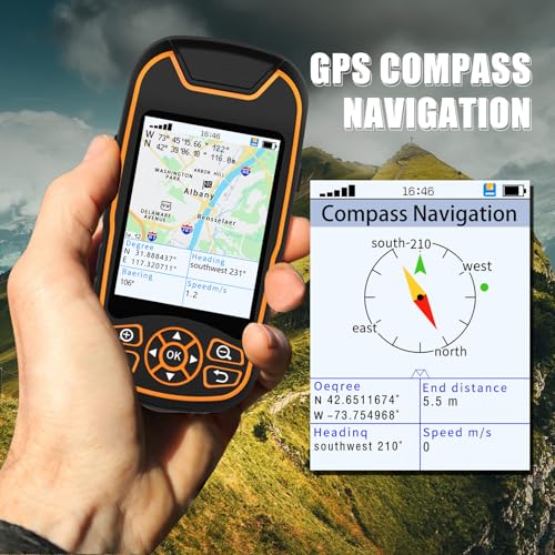
- Support Navigation waypoint, Navigation route, Navigation track, multiple navigation methods More, Return route function Provide the return route along the original road when exploring.
- The coordinates are known and the destination can be reached using waypoint navigation .The compass and trip data can be referred to during the process.
- Routes are made up of waypoints. Before departure, routes are created based on waypoints, and destinations are reached 1 by 1 according to the routes.
- Built-in barometer Elevation measurement can effectively indicate the accuracy of elevation measurement can also automatically recognize the slope Slope.
- This machine also has the function of area length, sample measurement, etc. so that you can set the point and measure the acre at the same time.


Handheld GPS Devices
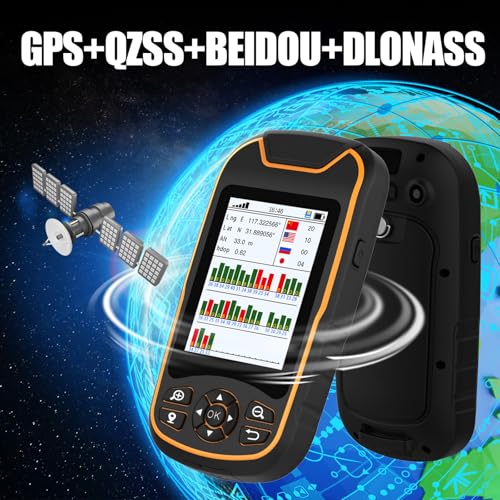
LHQYA A8 GPS Handheld Navigator, Portable Hiking GPS for Outdoor, World Map/Coordinate Collection/Data Export/Satellite Position, for Farm Land
£186.87 (as of 05/31/2026 06:16 PST - DetailsProduct prices and availability are accurate as of the date/time indicated and are subject to change. Any price and availability information displayed on Amazon at the time of purchase will apply to the purchase of this product.)
Support Navigation waypoint, Navigation route, Navigation track, multiple navigation methods More, Return route function Provide the return route along the original road when exploring.
| Brand | LHQYA |
|---|---|
| Manufacturer | LHQYA |
| Binding | Electronics |
Related products
- Handheld GPS Devices
EDEDE Distance Meter, Outdoor Handheld GPS Acre Measure Farm Land Meter Length Area Measurement
£173.50 *View On Amazon*