


Quick Summary
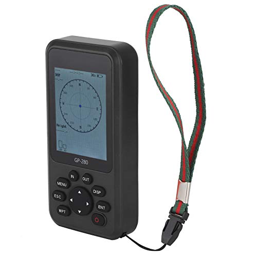
This handheld GPS survey equipment is a rugged land surveying device for measuring outdoor areas and related distances on a range of terrains. It is powered by 4 satellite positioning systems, GPS, BEIDOU, GLONASS and QZSS, and is described as able to deliver ultra accurate signals for survey work.
Who It Is Best For
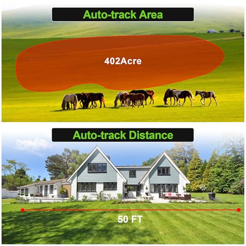
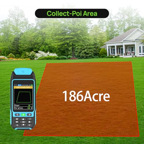
It is best for buyers who need a portable surveying tool for farmland, gardens, parking lots, pastures and other outdoor ground areas. It also suits users who want a device that can handle mountain terrain, forest areas, ranch land and similar working environments.
What To Know Before You Buy
The device supports three measurement modes and also distance and slope measurement, so it offers more than simple area checks. It has a 3.2 inch HD display with anti glare TFT screen and backlight mode, which helps readability in different light conditions.
Pros: Portable, rugged and designed for outdoor work across several terrain types.
Cons: It should be used in an open outdoor area to search for satellite signals before measuring, and the data should stop fluctuating before use.
Common Buyer Questions
Can it be used on different terrains?
Yes, it is described for use on farmland, garden, parking lot, pasture and other terrain types.
Does it only measure area?
No, it also supports distance and slope measurement.
Is the screen easy to read outdoors?
It has a 3.2 inch HD display with anti glare TFT screen and backlight mode for clearer reading in different lighting conditions.
Is it suitable for rough outdoor conditions?
It is described as waterproof and dust proof, with a portable design and rubberised case for a comfortable grip.
Do I need to do anything before measuring?
Yes, it should search for satellite signals in an open outdoor area first, then measuring should begin after the data stops fluctuating.
Key Details
| Detail | What it means in use |
|---|---|
| 4 satellite positioning systems | Uses GPS, BEIDOU, GLONASS and QZSS for positioning. |
| Measurement modes | Supports three measurement modes for different terrain needs. |
| Other measurements | Also supports distance and slope measurement. |
| 3.2 inch HD display | Helps with reading data on the device screen. |
| Anti glare TFT screen with backlight mode | Designed for clearer visibility in bright light and darker conditions. |
| Waterproof and dust proof | Built for outdoor working conditions. |
| Portable design | Fits in the hand or pocket for easier carrying. |
| Rubberised case | Provides a comfortable grip. |
Final Buying View
This is a handheld GPS surveying device aimed at outdoor land measurement across a wide range of terrain. It combines multiple satellite positioning systems, several measurement modes, a clear display and a rugged portable design. If you need a survey tool for outdoor area checking, it is a practical option to consider, provided you are happy to follow the open sky signal setup before measuring.