





Quick Summary
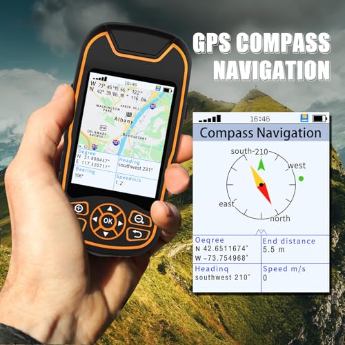
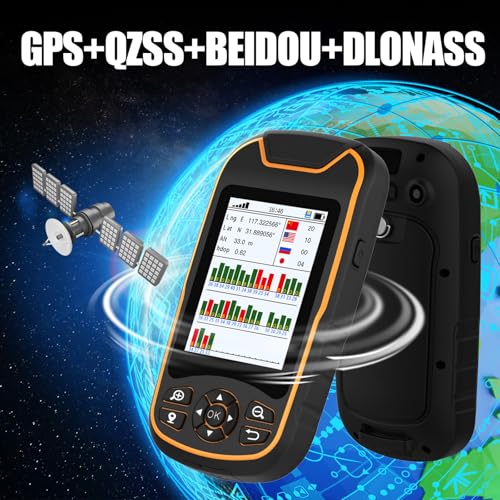
The A8 GPS Handheld Navigator is a handheld GPS survey equipment option for coordinate collection, world map viewing, satellite position use, and data export. It is designed for route based navigation and field measurement tasks, with waypoint navigation, route navigation, track navigation, return route function, built in barometer elevation measurement, slope recognition, and area and length measurement.
Who It Is Best For
This is suited to buyers who need a handheld device for fieldwork, land use checks, and route based navigation where coordinates and waypoint planning matter. It may suit farm land use, surveying style tasks, and outdoor work that benefits from practical measurements and recorded routes.
What To Know Before You Buy
The product is described with several functions, but the source wording is limited and some details are broad rather than precise. Check the selected variation and make sure the functions you need are the ones included.
Pros: Includes coordinate collection, waypoint and route navigation, and data export for practical field use.
Cons: The source does not give clear details for size, power, accuracy, or included accessories, so suitability should be checked before ordering.
Common Buyer Questions
What can this handheld navigator do?
It is described as supporting coordinate collection, waypoint navigation, route navigation, track navigation, and data export.
Is it suitable for farm land use?
Yes, it is listed for farm land use and may suit field tasks that involve routes, areas, and lengths.
Does it support return routing?
Yes, it includes a return route function that provides the return route along the original road when exploring.
Can it measure area and length?
Yes, the description says it has area length and sample measurement functions.
Does it include elevation related features?
It is described as having a built in barometer for elevation measurement and slope recognition.
Key Details
| Detail | What it means in use |
|---|---|
| A8 GPS Handheld Navigator | A handheld GPS device for outdoor navigation and field use. |
| Coordinate collection | Helps record or work with position data during use. |
| World map | Supports map based viewing for navigation. |
| Satellite position | Uses satellite positioning for location based guidance. |
| Data export | Allows collected data to be exported for later use. |
| Waypoint, route, and track navigation | Supports several navigation methods for planned field movement. |
| Return route function | Helps guide the user back along the original road. |
| Built in barometer | Provides elevation related measurement and slope recognition. |
| Area and length measurement | Useful for measuring land related distances and areas. |
Final Buying View
The A8 GPS Handheld Navigator is a practical choice if you want a handheld GPS survey equipment device for coordinate collection, route based navigation, and land measurement tasks. It brings together waypoint navigation, return route support, elevation related functions, and data export in one unit. If those are the features you need, it is worth checking the selected variation and confirming it suits your fieldwork before ordering.


