


Quick Summary
This handheld GPS survey equipment is designed for coordinate measurement, real time navigation and route editing across outdoor surveying tasks. It includes multiple measurement modes, a high sensitivity GNSS receiver chip and a 2.4 inch LCD backlight display for clearer viewing in lower light.
Who It Is Best For
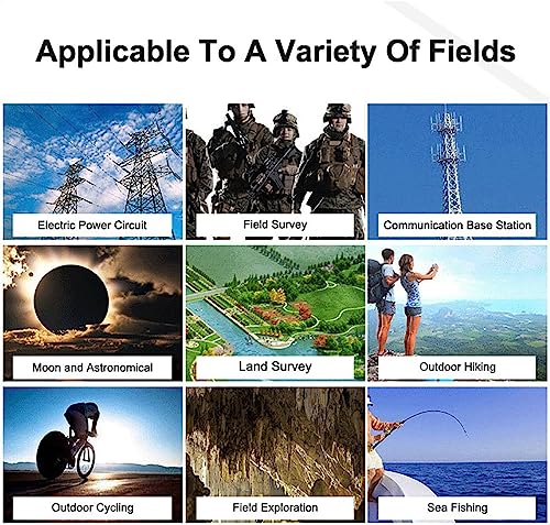
This is a practical choice for people who need a handheld surveying tool for farmland, forests, water bodies, beaches, factories or mines. It also suits users who want a compact device with several measurement modes and a clear screen for checking results on site.
What To Know Before You Buy
The device is listed with 8 measurement modes, so it may suit a range of surveying tasks, but you should check the selected mode and suitability for your own job before ordering.
It is described as able to save and record up to 199 historical data points and figure tracks, which may help when reviewing previous measurements.
Pros: Multiple modes, a high sensitivity receiver chip and a backlit display make it more useful in varied outdoor conditions.
Cons: The product information is broad, so buyers should check the exact variation and intended use before ordering.
Common Buyer Questions
What is this used for?
It is used for handheld surveying tasks such as coordinate measurement, navigation and route editing in outdoor settings.
Can it be used in low light?
Yes, it includes a 2.4 inch LCD backlight display to improve visibility in dimmer conditions.
How many measurement modes does it have?
It is listed with 8 measurement modes for different surveying needs.
Does it store previous records?
Yes, it can save and record up to 199 historical data points and figure tracks.
Where is it intended to be used?
It is described for use in farmland, green land, forests, water bodies, beaches, factories and mines.
Key Details
| Detail | What it means in use |
|---|---|
| Product type | Handheld GPS survey equipment |
| Primary use | Coordinate measurement, real time navigation and route editing |
| Measurement modes | 8 modes including normal, mountain, intelligent slope, length and width, fixed width, fixed point, circle machine load and round trip machine load |
| Receiver chip | High sensitivity GNSS receiver chip that captures signals from GPS, GNSS, SBAS and BeiDou |
| Display | 2.4 inch LCD screen with backlight |
| Data storage | Can save and record up to 199 historical data points and figure tracks |
| Uses listed | Farmland, green land, forests, water bodies, beaches, factories and mines |
Final Buying View
This handheld GPS survey equipment offers a useful mix of survey functions, a clear backlit display and multiple measurement modes for outdoor work. If you need a device for coordinate measurement, navigation and route editing across different land types, it gives you a straightforward set of practical features to consider. Check the selected variation and intended use before ordering, then choose it if those listed functions match your surveying needs.


